
5 Best Apps for Hikers 2025: AllTrails and Top Alternatives Explored
There’s no doubt that hiking is an excellent way to both stay fit and explore the great outdoors.
With countless trails available, it can be tough to know where to start, but luckily, there are some fantastic hiking apps available to help guide you in the right direction.
One such app is AllTrails, which has established itself as a top choice for both beginners and experienced hikers alike.
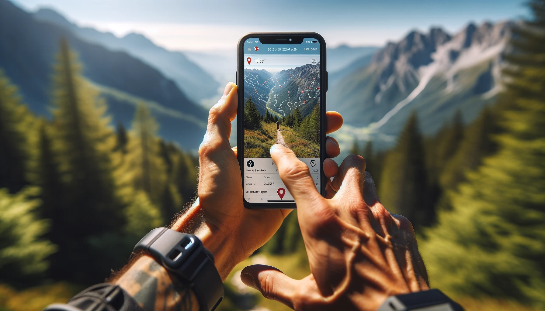
As you venture into the world of hiking apps, you’ll find that AllTrails stands out due to its user-friendly interface and extensive database of trails. Instead of getting lost trying to find the best routes, AllTrails provides you with detailed information, maps, and even user-generated reviews to ensure you have the best possible experience. This app is available for various device platforms, making it accessible for almost anyone who loves to hike.
Besides AllTrails, there is an array of other hiking apps to choose from, depending on your needs and preferences. Each app has its unique features and benefits, but ultimately, it’s about finding the one that aligns with your hiking goals and helps you navigate the trails with ease. So, get ready to lace-up your hiking boots, download your preferred app, and enjoy a safe and memorable outdoor adventure.

Navigating the Trails: Top Apps for Hikers
AllTrails: Your Go-To Trail Guide
AllTrails is a popular app among hikers, offering a vast database, making it easy to find trails worldwide. With its user-friendly interface, you can filter map types, such as terrain, world peaks, and OpenStreetMap (OSM). The AllTrails app allows you to:
- Access hundreds of thousands of trails worldwide
- Record your hikes and track your progress
- Download offline maps with the Pro version
While on the trail, use AllTrails for GPS navigation and tracking to stay on course.
Gaia GPS: For the Off-Trail Adventurer
Gaia GPS is ideal for off-trail adventurers seeking topographic map details and GPS capabilities. Key features include:
- High-resolution topographic maps and satellite imagery
- Offline GPS navigation
- Advanced planning tools for custom routes
Upgrade to Gaia GPS Premium for additional map layers, such as National Geographic Trails Illustrated and US Forest Service maps.
FarOut: A Long-Distance Hiker’s Companion

For long-distance hikes and thru-hikers, FarOut provides an all-in-one solution. The app features dedicated trail guides, offline maps, and waypoint descriptions. With FarOut, you’ll benefit from:
- Accurate, up-to-date trail information
- GPS navigation and tracking
- Elevation profiles and distance data for planning
The app also includes a social component, allowing users to share trail updates, water sources, and campsite information.
PeakVisor: Elevate Your Hiking Experience
PeakVisor combines topographic maps, GPS navigation, and augmented reality to enhance your hiking experience. It identifies mountain peaks and provides elevation data, making it a valuable tool for peak baggers. Key features of PeakVisor:
- 3D maps and panoramas with real-time positioning
- Offline maps and peak identification
- Customizable, user-friendly interface
PeakVisor also offers safety features, such as an emergency locator and compass, ensuring a safe and enjoyable adventure.
By utilizing these navigation apps on your hikes, you’ll have access to GPS tracking, offline maps, and valuable trail information, making your trek safer and more enjoyable. Choose the app that suits your needs and get ready to hit the trails with confidence.

Maximizing Outdoor Safety with Hiking Apps
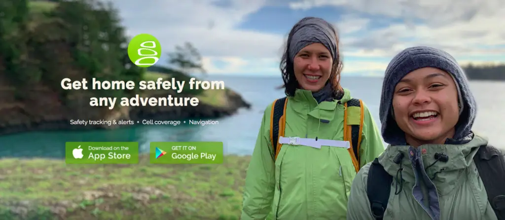
Cairn: Safety and Peace of Mind

When embarking on a hiking adventure, it’s essential to prioritize your safety. Cairn is an app designed to provide a sense of security during your outdoor escapades. With real-time location sharing, Cairn allows your loved ones to keep track of your progress and monitor your well-being throughout your journey.
In addition to location sharing, Cairn offers an offline mode, which is particularly helpful in areas with limited or no cellular service. While planning your route, you can download detailed trail maps and estimated timeframes. This way, your friends and family will know when to expect you back, giving both you and them peace of mind.
SAS Survival Guide: Emergency Preparedness
No matter how experienced you are, unexpected situations can arise during any outdoor adventure. That’s why it’s essential to be prepared for emergencies. One app that can help you tackle these situations is the SAS Survival Guide. Originally a bestselling book, this app has been adapted to provide easy access to vital information when you need it most.
The SAS Survival Guide covers a wide range of topics, including first aid, navigation, and signal techniques. It also offers interactive quizzes to test your survival knowledge. The app serves as a digital lifeline, ensuring you have access to critical information in a crisis, even when offline.
When you use Cairn and SAS Survival Guide on your hikes, you equip yourself with knowledge and tools to stay safe and navigate unforeseen challenges. Aside from their utility, these apps help instill confidence in your abilities and enable you to enjoy your outdoor experiences more fully. So before embarking on your next hike, consider adding these apps to your repertoire, ensuring both safety and peace of mind.
Enhancing Your Hiking Experience
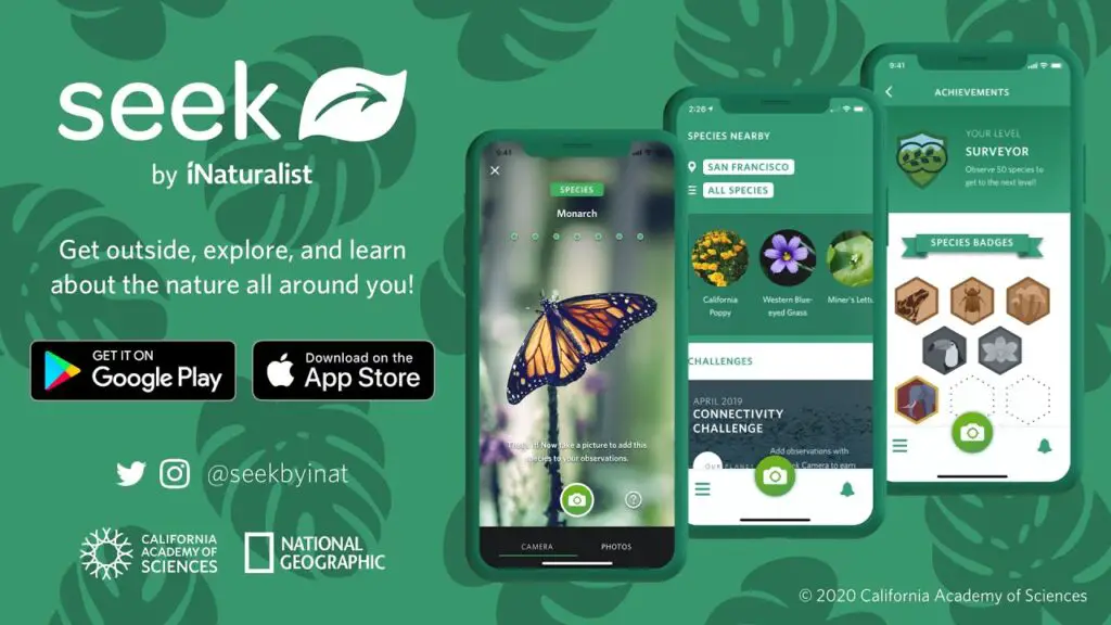
Seek by iNaturalist: Discover the Natural Environment

Seek by iNaturalist is a fantastic app to enhance your hiking experience by helping you understand the natural environment around you. The app allows you to identify plants, animals, and fungi by simply taking a photo. As you explore new trails, the app helps you learn about the diverse flora and fauna in your surroundings.
Some key features of Seek include:
- Real-time identification using your phone’s camera
- A personal observation library to keep track of your discoveries
- Location-based challenges and badges for added fun
Having this wealth of knowledge at your fingertips not only deepens your connection with nature but also makes for a more engaging and informative hike. Seek by iNaturalist can be especially helpful in identifying water sources and other points of interest, allowing you to stay hydrated and make the most of your adventure.
Komoot: Planning and Navigation for Hikers

Komoot is another excellent app to enhance your hiking experience, focusing on route planning and navigation. Whether you’re hiking on public land or venturing into private land with permission, Komoot ensures you stay on track and discover the best trails suited to your preferences.
Some notable features of Komoot include:
- Detailed topographic maps with points of interest
- Turn-by-turn voice navigation for a hands-free experience
- Offline mapping to stay on track even without service
- A vast community of users sharing their favorite routes and experiences
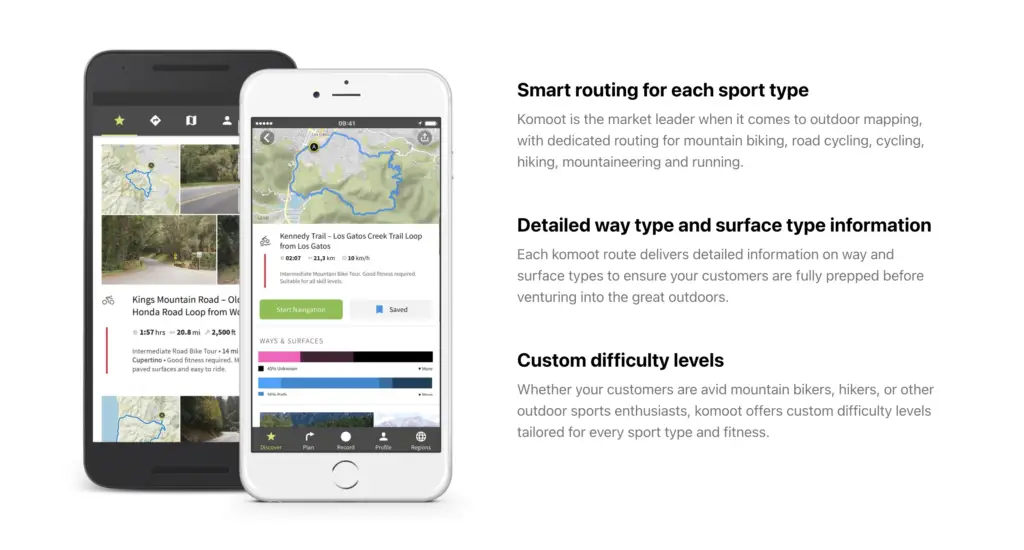
With Komoot, you can plan your hike down to the last detail, including information on water sources, elevation, and expected trail conditions. The app also offers plenty of inspiration through its community-driven routes and the ability to follow other users’ tours. By taking advantage of these features, you’ll be well-prepared for your next hiking adventure, ensuring a safe and enjoyable experience in the great outdoors.
Apps for Trail Details and Performance Tracking
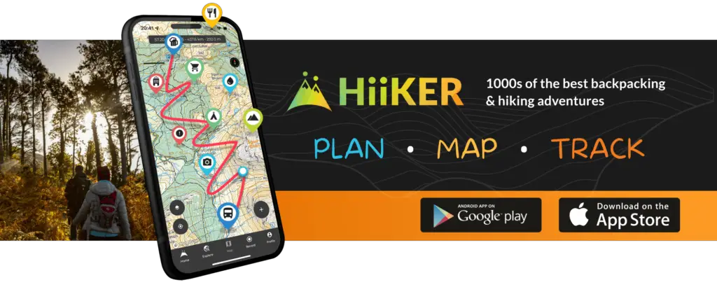
Hiiker: For the Love of Hiking

Hiiker is a hiking app that focuses on helping you plan and organize your hiking adventures. With its extensive database of trails, you can easily find a trail that suits your preferences. To make the planning process even more effortless, Hiiker allows you to filter trails based on your selected criteria, such as distance, difficulty, and location.
The app also offers GPS tracking, enabling you to follow your progress on the trail. Hiiker tracks vital performance data such as your pace, duration, and elevation changes. This information is neatly presented in an easy-to-understand elevation graph. So, you can stay on top of your performance and make adjustments as needed.
Besides trail information, Hiiker boasts several practical features that help ensure a smooth hiking experience. Some of these features include offline access, lodging options along the trail, and the ability to share your location with friends and family for safety reasons.
FarOut: Essential Trail Information

FarOut is another excellent app that provides you with essential trail information. Thanks to its user-friendly interface, you can quickly discover trails tailored to your preferences and level of expertise. While exploring your chosen trail, you’ll have access to detailed GPS tracking, making it easier to navigate through the route safely and confidently.
One of the standout features of FarOut is the way it offers vital trail data. The app includes information such as difficulty ratings, distance, duration, and elevation changes, allowing you to carefully plan your hike and set realistic expectations. The app also tracks your performance, including your pace, so that you can monitor your progress and adjust your efforts for maximum enjoyment and safety.
An added benefit of FarOut is the app’s capability to download and store trail maps and information for offline use. This feature ensures that you’ll always have access to vital trail data, even in areas with limited or no cellular reception.
As you embark on your hiking adventures, consider trying out both Hiiker and FarOut apps for detailed trail information and performance tracking, ultimately enhancing your outdoor experience.
Choosing the Right App for Your Hiking Needs

Free vs Premium: Balancing Cost and Features
When selecting a hiking app, it’s essential to consider the balance between cost and features. Many of the best hiking apps, like AllTrails, offer free versions with essential functionalities such as discovering trails, navigation, and trail reviews. These may be suitable for casual hikers or for exploring local trails.
However, if you’re looking for more advanced features like offline maps, wrong-turn alerts, ad-free experience, or 3D maps, a premium membership might be worth the investment. The benefits of a premium subscription can outweigh the cost, especially if you hike frequently or in remote areas where internet access is limited.
App Compatibility: Android and iOS Considerations
When choosing a hiking app, make sure it’s compatible with your device. Most popular hiking apps like AllTrails have received excellent reviews and are available for both Android and iOS devices. However, keep in mind that some apps may offer different features or user experiences on different platforms.
Here’s a quick overview of key considerations when evaluating hiking apps:
- Cost: Free or premium (subscription-based)?
- Features: Does the app provide the functionalities you need and value?
- Compatibility: Does the app work on your Android or iOS device?
- Reviews: Check user ratings and feedback to ensure the app delivers a quality experience.
By carefully assessing your needs and considering these factors, you can confidently choose the right hiking app for your adventures. Happy trails!
Beyond Hiking: Multi-Use Outdoor Apps
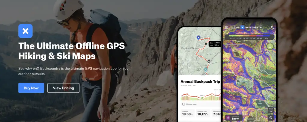
OnX Backcountry: Exploring Public and Private Lands

OnX Backcountry is an excellent app for outdoor enthusiasts who want to explore both public and private lands. With its extensive database of land ownership information, you can easily identify property boundaries and access points. This eliminates the guesswork when venturing onto new trails or planning your next adventure.
In addition to hiking, OnX Backcountry offers features for various outdoor activities such as hunting, fishing, and off-roading. Its GPS capabilities allow you to track your location, even without cell reception. You can download offline maps for use in remote areas or to save on data usage.
Some noteworthy OnX Backcountry features:
- Ease of use: Intuitive interface with customizable map layers for different activities.
- Offline maps: Download maps to use without an internet connection.
- Land ownership information: Clearly marked public and private land boundaries.
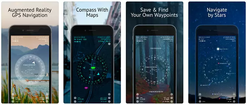
Spyglass: Advanced Outdoor Navigation

If you’re looking for a versatile and powerful navigational tool, consider Spyglass. This app goes beyond standard GPS capabilities by incorporating advanced features such as a 3D compass, altimeter, and gyrocompass. With Spyglass, you can confidently navigate any terrain with precision and ease.
Spyglass allows you to capture waypoints by simply pointing your phone’s camera at your destination. Additionally, it offers real-time data on your distance, altitude, and direction, making it a valuable addition to your outdoor toolkit.
A few interesting features of Spyglass include:
- 3D compass: Navigate using a traditional compass or a full-featured augmented reality (AR) compass.
- GPS capabilities: Accurate tracking and navigation using your phone’s built-in GPS.
- Outdoor-focused interface: Designed specifically for use in outdoor environments.
In conclusion, both OnX Backcountry and Spyglass are excellent multi-use outdoor apps, offering useful tools for a wide range of activities. From exploring public and private land to advanced navigation features, these apps can easily enhance your outdoor adventures.
Frequently Asked Questions

What features set AllTrails apart from other hiking apps?
AllTrails offers numerous features that make it stand out among hiking apps. Some of these include hike descriptions, community ratings, reviews, and GPS navigation. The Plus version adds downloadable maps, offline maps, off route notifications, 3D maps, Print Maps for backup, and weather details like Air Quality, Light Pollution, Pollen, and bug pressure.
Can you access maps offline with the free version of AllTrails?
Unfortunately, offline maps are not available with the free version of AllTrails. To access offline maps, you need to subscribe to the AllTrails Pro version.
Are there any significant drawbacks to using AllTrails for hiking?
AllTrails is an excellent app for hiking, with few drawbacks. The main limitation may be that some advanced features, such as offline maps, are limited to the Pro version. Additionally, hikers who prioritize GPS functionality in remote areas may find Gaia GPS more suitable.
Which hiking apps offer the best GPS navigation for remote areas?
For the best GPS navigation in remote areas, Gaia GPS is a popular choice among experienced hikers due to its powerful mapping and tracking capabilities, specially designed for off-the-grid adventures.
What are some recommended alternatives to AllTrails according to experienced hikers on Reddit?
Some alternative hiking apps recommended by experienced hikers on Reddit include Gaia GPS, PeakVisor, Google Maps, FarOut (Formerly Guthook Guides), Hiking Project, and Recreation.Gov. Each of these apps offers unique features, such as mountain identification with PeakVisor and backpacking-oriented services from FarOut. It’s essential to explore different options and choose the one that suits your needs best.